Fallen Leaf Campground
4 mi west · USDA Forest Service
Fallen Leaf Campground is situated on the north shore of Fallen Leaf Lake and adjacent to Taylor Creek. The south shore of Lake Tahoe is less than a mile away.
Outdoors
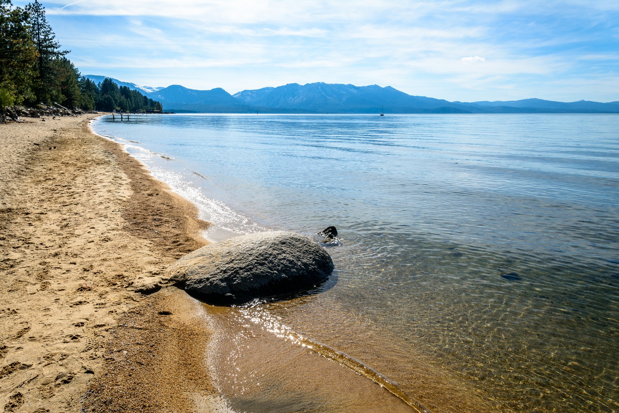
Refuges, lakes and wild areas near South Lake Tahoe for wildlife viewing and birdwatching.
Good to know: Early mornings and evenings are best for wildlife; bring binoculars and keep a respectful distance.
4 mi west · USDA Forest Service
Fallen Leaf Campground is situated on the north shore of Fallen Leaf Lake and adjacent to Taylor Creek. The south shore of Lake Tahoe is less than a mile away.
4 mi southeast · USDA Forest Service
Hope Valley Campground is located in its beautiful namesake valley at an elevation of 7,300 feet, just 40 minutes south of Lake Tahoe. Visitors enjoy fishing the West Fork Carson River and exploring local trails.
5 mi north · USDA Forest Service
Lake Tahoe is one of the most stunning destinations on the planet, making it a top choice for outdoor enthusiasts who enjoy RV cruising and camping.
Map of 18 places loads as you scroll.
Fallen Leaf Campground is situated on the north shore of Fallen Leaf Lake and adjacent to Taylor Creek. The south shore of Lake Tahoe is less than a mile away.
Hope Valley Campground is located in its beautiful namesake valley at an elevation of 7,300 feet, just 40 minutes south of Lake Tahoe. Visitors enjoy fishing the West Fork Carson River and exploring local trails.
Lake Tahoe is one of the most stunning destinations on the planet, making it a top choice for outdoor enthusiasts who enjoy RV cruising and camping.
NO PETS ARE ALLOWED ANYWHERE AT THE RESORT! Meeks Bay Resort has a long tradition as a family vacation and holiday retreat.
Wrights Lake Campground is situated in the timber belt, close to the lake shore, looking up at the majestic rocky peaks of the Sierra Nevadas and Desolation Wilderness. The area is well-known for its hiking, wildflowers and birding.
The Wrights Lake Equestrian Campground is available to visitors travelling with equestrian or packstock animals.
Located close to Lake Tahoe, Truckee and Reno, Martis has a beautiful, peaceful campground off the beaten path. The Martis Creek area features hiking, biking, canoeing/kayaking and trout fishing.
Recreation at Sly Park Reservoir is managed by the El Dorado Irrigation District under an agreement with the Bureau of Reclamation's Central CA Area Office. The reservoir was created by Sly Park Dam across Sly Park Creek.
Point of Interest: “Wilson Canyon” is a popular outdoor attraction near the town of Yerington, Nevada. The wider area includes a variety of recreation sites along the canyon and the West Walker River.
.
Remember your OUTDOOR ETHICS when enjoying your public lands. Please RECREATE RESPONSIBLY .
Recreation at Sugar Pine Reservoir is managed by Tahoe National Forest under an agreement with the Bureau of Reclamation. Sugar Pine Reservoir was created by Sugar Pine Dam across Shirttail Creek.
The BLM, Mother Lode Field Office administers river recreation on the North and South Forks of the American River. VISIT North Fork American River VISIT South Fork American River Return To: BLM, Mother Lode Field Office
Remember your OUTDOOR ETHICS when enjoying your public lands. Please RECREATE RESPONSIBLY. Overview The South Yuba Recreation Area and National Trail is located approximately 10 miles northeast of Nevada City, California.
Recreation at Folsom Reservoir is managed by the California Department of Parks and Recreation under agreement with the Bureau of Reclamation, Central California Area Office.
New Melones Dam and Reservoir are part of the Central Valley Project - New Melones Unit operated by the Bureau of Reclamation. Located 60 miles upstream on the Stanislaus River from the confluence of the San Joaquin River.
Nimbus Dam , on the American River 7 miles below Folsom Dam formed Lake Natoma to reregulate the releases for power made through Folsom Powerplant.
Distances are straight-line miles from downtown South Lake Tahoe. Listings come from Recreation.gov’s federal recreation database; check each official page for hours, fees, fire restrictions and closures before you go.
THINGS TO DO · YOUTUBE SHORT
A local activity Short shared by Brandon In The Bay.
Watch on YouTube ↗
THINGS TO DO · YOUTUBE SHORT
A local activity Short shared by Alma Delia.
Watch on YouTube ↗


Fallen Leaf Campground (USDA Forest Service), about 4 miles west of South Lake Tahoe as the crow flies. Next are Hope Valley (4 mi) and Zephyr Cove RV & Campground (5 mi).
Federal agencies including USDA Forest Service, Bureau of Reclamation, Bureau of Land Management. Each listing links to its official page for hours, fees, closures and current conditions.