Zephyr Cove RV & Campground
5 mi north · USDA Forest Service
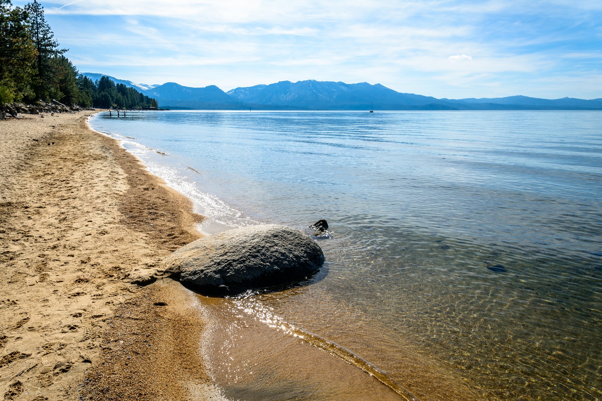
Lake Tahoe is one of the most stunning destinations on the planet, making it a top choice for outdoor enthusiasts who enjoy RV cruising and camping.
Outdoors
Day-use and picnic areas near South Lake Tahoe on public land, from quick drives to full-day outings.
Good to know: Group picnic sites can often be reserved; fire rules change with the season, so check before bringing a grill.
5 mi north · USDA Forest Service
Lake Tahoe is one of the most stunning destinations on the planet, making it a top choice for outdoor enthusiasts who enjoy RV cruising and camping.
10 mi northwest · USDA Forest Service
NO PETS ARE ALLOWED ANYWHERE AT THE RESORT! Meeks Bay Resort has a long tradition as a family vacation and holiday retreat.
17 mi southeast · Bureau of Land Management
Situated in the eastern foothills of the Sierra Nevada, Indian Creek Recreation Area offers a variety of outdoor recreation opportunities highlighted by Indian Creek Reservoir, Indian Creek Campground and the East Fork of the Carson River.
Map of 18 places loads as you scroll.
Lake Tahoe is one of the most stunning destinations on the planet, making it a top choice for outdoor enthusiasts who enjoy RV cruising and camping.
NO PETS ARE ALLOWED ANYWHERE AT THE RESORT! Meeks Bay Resort has a long tradition as a family vacation and holiday retreat.
Situated in the eastern foothills of the Sierra Nevada, Indian Creek Recreation Area offers a variety of outdoor recreation opportunities highlighted by Indian Creek Reservoir, Indian Creek Campground and the East Fork of the Carson River.
Recreation Opportunity Guides (ROG) - These guides contains information, maps, and directions to assist you in enjoying your trip to the Eldorado National Forest.
Located close to Lake Tahoe, Truckee and Reno, Martis has a beautiful, peaceful campground off the beaten path. The Martis Creek area features hiking, biking, canoeing/kayaking and trout fishing.
Boca Dam and Reservoir are features of the Truckee Storage Project . The reservoir is on the Little Truckee River, 27 miles southwest of Reno, Nevada. Open year-round (frozen during winter).
Recreation at Sly Park Reservoir is managed by the El Dorado Irrigation District under an agreement with the Bureau of Reclamation's Central CA Area Office. The reservoir was created by Sly Park Dam across Sly Park Creek.
Completed in 1970, Stampede Dam and Reservoir are located on the Little Truckee River immediately below the mouth of Davies Creek and approximately 8 miles above the confluence of the Little Truckee and Truckee Rivers.
.
Recreation at Sugar Pine Reservoir is managed by Tahoe National Forest under an agreement with the Bureau of Reclamation. Sugar Pine Reservoir was created by Sugar Pine Dam across Shirttail Creek.
Lahontan Dam and Reservoir,on the Carson River store the natural flow of the Carson River along with water diverted from the Truckee River. The dam is a feature of the Newlands Project . There is a powerplant immediately below the dam.
The BLM, Mother Lode Field Office administers river recreation on the North and South Forks of the American River. VISIT North Fork American River VISIT South Fork American River Return To: BLM, Mother Lode Field Office
Remember your OUTDOOR ETHICS when enjoying your public lands. Please RECREATE RESPONSIBLY. Overview The South Yuba Recreation Area and National Trail is located approximately 10 miles northeast of Nevada City, California.
Settlement of the basin began about 1844. In 1848, discovery of gold near the present site of Coloma precipitated a great influx of gold seekers from all parts of the country.
Recreation at Folsom Reservoir is managed by the California Department of Parks and Recreation under agreement with the Bureau of Reclamation, Central California Area Office.
New Melones Dam and Reservoir are part of the Central Valley Project - New Melones Unit operated by the Bureau of Reclamation. Located 60 miles upstream on the Stanislaus River from the confluence of the San Joaquin River.
Distances are straight-line miles from downtown South Lake Tahoe. Listings come from Recreation.gov’s federal recreation database; check each official page for hours, fees, fire restrictions and closures before you go.
THINGS TO DO · YOUTUBE SHORT
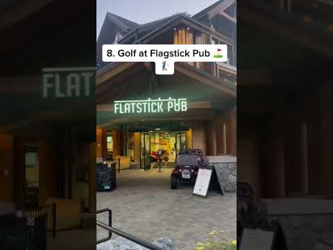
A local activity Short shared by Brandon In The Bay.
Watch on YouTube ↗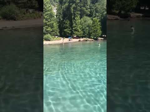
THINGS TO DO · YOUTUBE SHORT
A local activity Short shared by Alma Delia.
Watch on YouTube ↗


Zephyr Cove RV & Campground (USDA Forest Service), about 5 miles north of South Lake Tahoe as the crow flies. Next are Meeks Bay Resort (10 mi) and Indian Creek Recreation Area (17 mi).
Based on South Lake Tahoe’s average highs, May–October. Conditions at higher elevations can be much cooler.
Federal agencies including Bureau of Reclamation, USDA Forest Service, Bureau of Land Management. Each listing links to its official page for hours, fees, closures and current conditions.